Your maps. Your ground. No signal.
Bushwise is a free, offline hunting map for licensed NSW hunters.
Import the official DPIRD forest maps you already use, and see exactly where you are on them — with no phone signal and no data. Everything happens on your device.
Coming to the App Store
Get the Android test build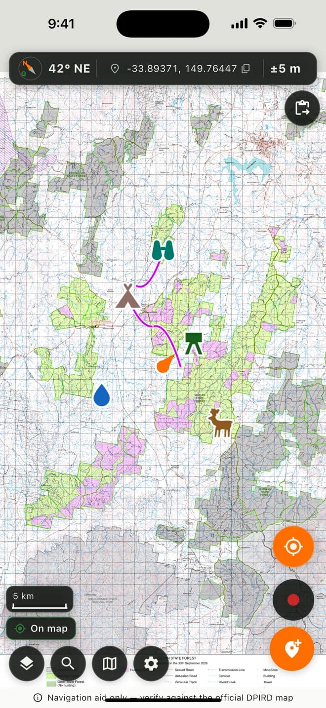
- 01
Find your way, off the grid
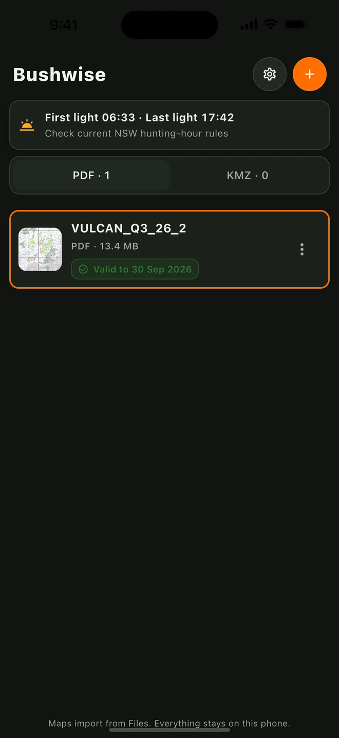
- Import official DPIRD maps (GeoPDF and KMZ) straight from the Files app
- Live GPS position, heading and coordinates, fully offline
- A compass and scale bar built for glancing at in the field
- 02
Mark the ground you know
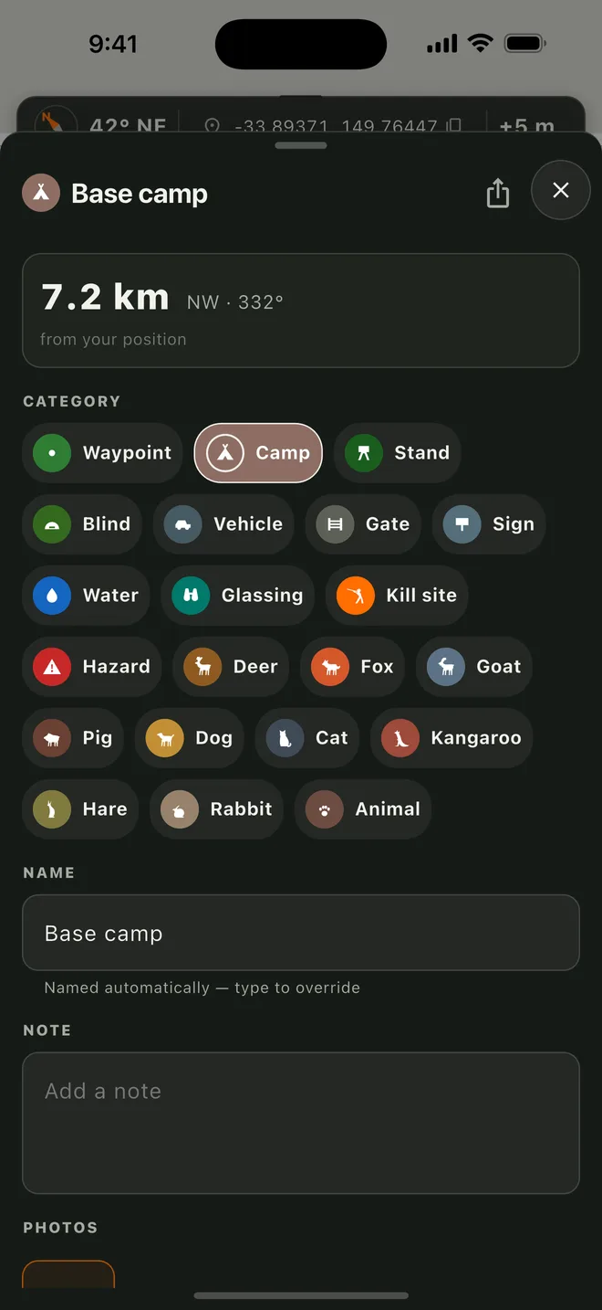
- Drop, name and photograph markers — camps, stands, glassing spots, water, sign, kills and more
- Distinct silhouettes for deer, fox, goat and pig, or plain coloured pins
- Share, export and import markers as GPX or KML
- 03
Never lose the way back
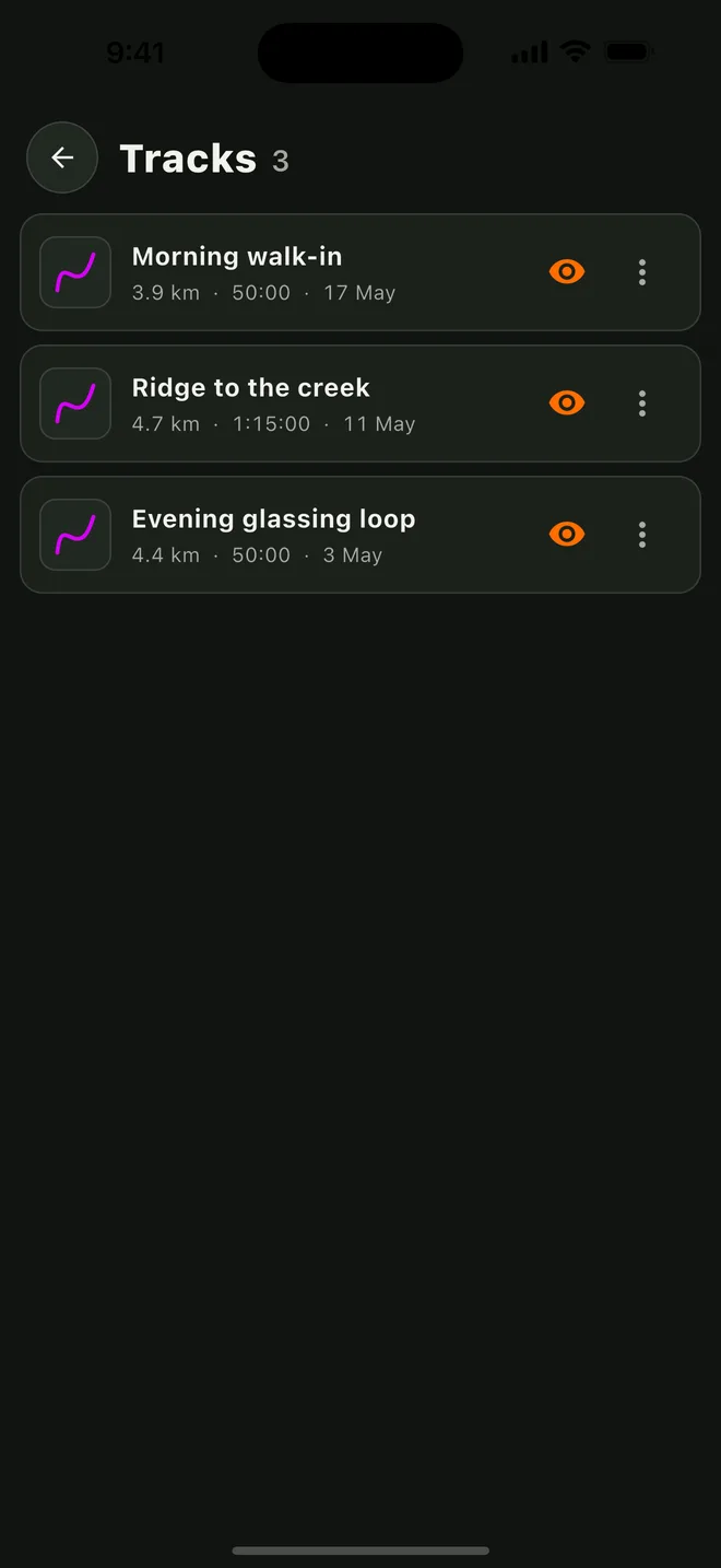
- Record your track with one tap and follow the trace-back bearing home
- Export any track as GPX
- 04
A quiet safety co-pilot
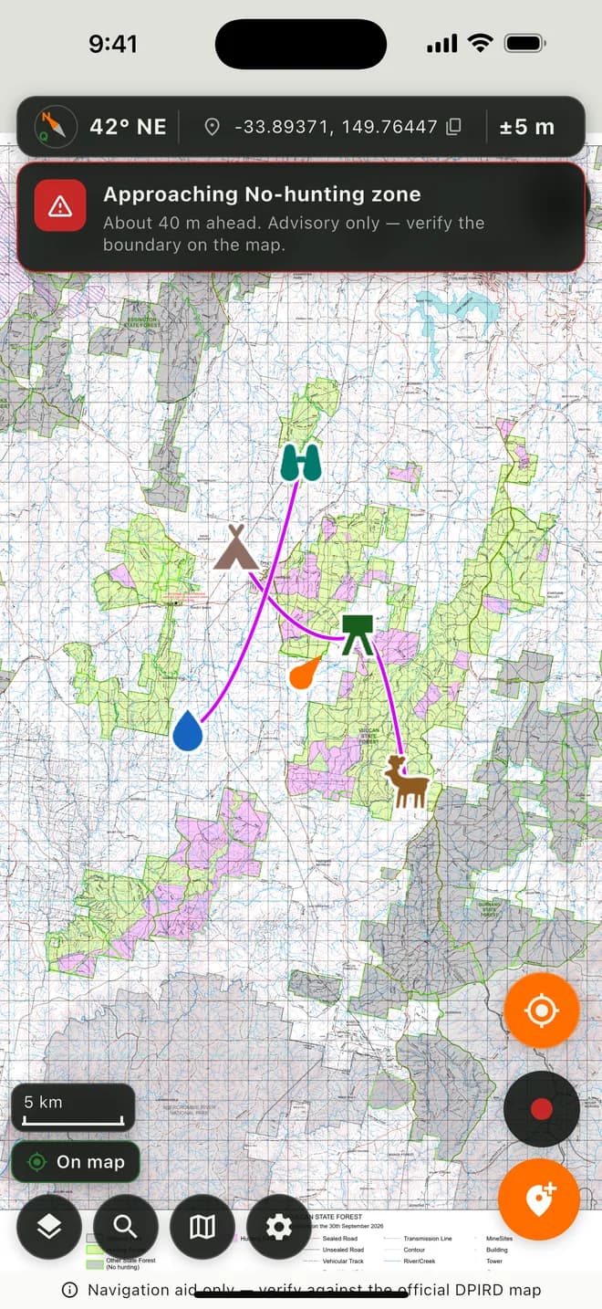
- Advisory alerts as you approach no-hunting zones on the map — it informs, you decide
- Legal light times and gentle field reminders
- Map-expiry warnings so you're never on an out-of-date map
Free, and genuinely private
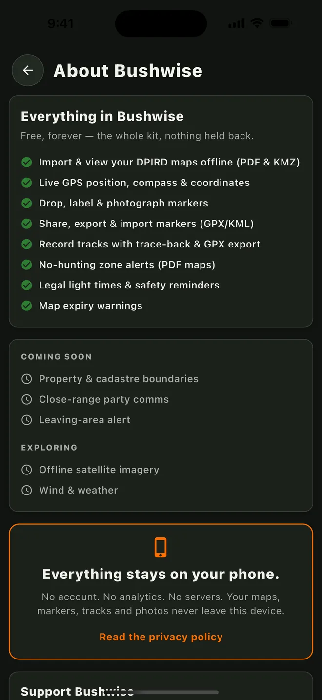
Everything in Bushwise is free — the whole kit, nothing held back, no subscription and no unlock.
And nothing leaves your phone: no account, no analytics, no servers. Your maps, markers, tracks and photos stay on your device. If the app earns a place in your pack, there's an optional tip jar — but it unlocks nothing, ever.
Made by one hunter in NSW.
Bushwise is a navigation aid, not the law. Official DPIRD maps and GPS both have limits — always verify against the official map and the current NSW hunting rules. You remain responsible for hunting legally and safely.